Saturday 25 June 2011

Thruscross & Barden Moor Walk

On Saturday 18th June five friends from our Church 1812 Group and I had an enjoyable 3½ hour walk (9 miles) from the Car Park by Thruscross Reservoir, along part of the Dales Way link over Barden Moor to Rocking Hall where we had lunch and then returned via Foulgate Bank and Stoney Gate Top to the River Washburn and back along the side of the reservoir.

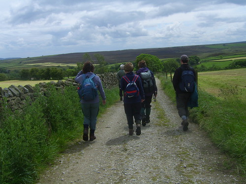
Pictures below (some with captions, where appropriate) show our day out in the beautiful Washburn Valley part of the Yorkshire Dales.


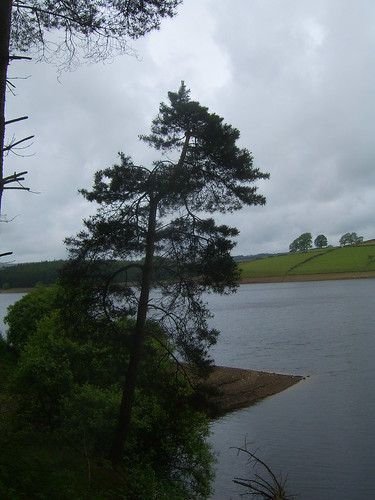
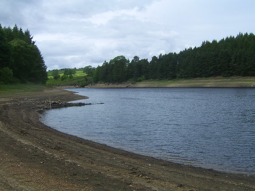
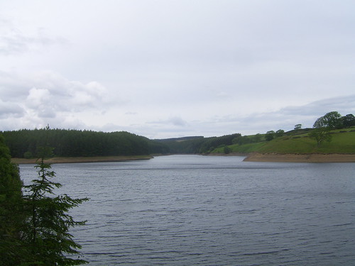
Thruscross Reservoir at the start of the walk.


1812 Walk - 180611 003


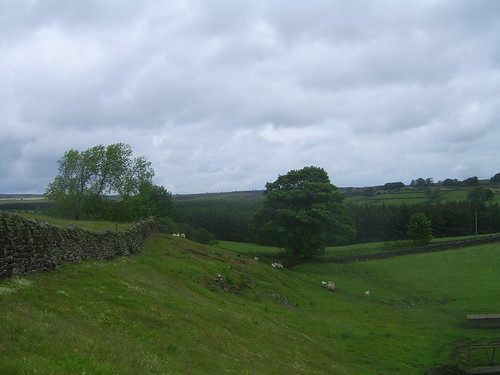
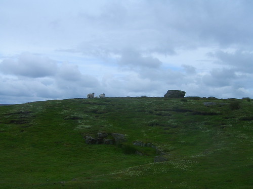
Sheep safely grazing.


1812 Walk - 180611 005


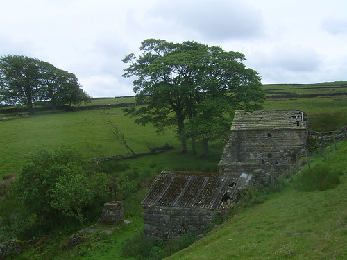
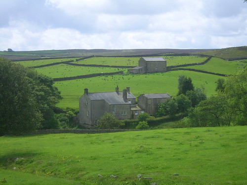
An old disused farm cottage.


1812 Walk - 180611 006


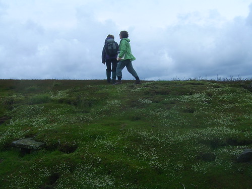
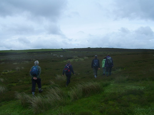
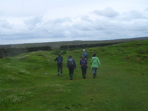
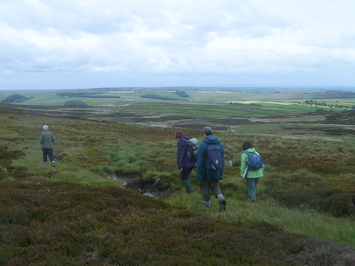
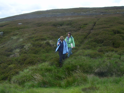
Heading over the moor.


1812 Walk - 180611 008


1812 Walk - 180611 009


1812 Walk - 180611 010


1812 Walk - 180611 013


1812 Walk - 180611 014


1812 Walk - 180611 015


1812 Walk - 180611 017


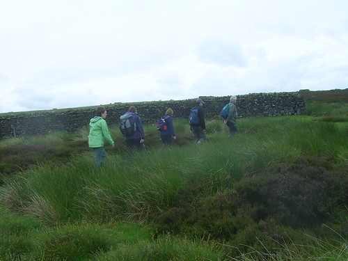
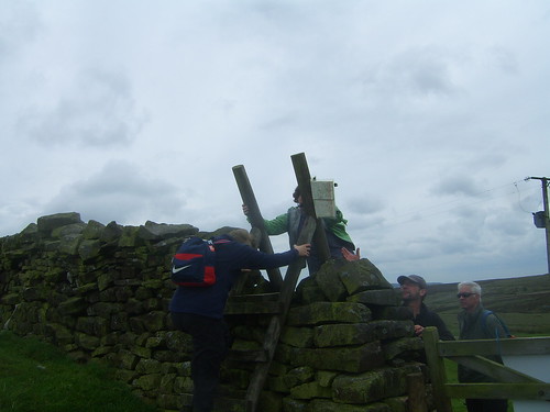
Some high stiles to negotiate.


1812 Walk - 180611 018


View back across to Menwith Hill.


1812 Walk - 180611 020


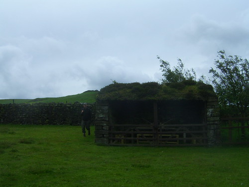
A barn converted to a refreshment dining area for the landed gentry during their shooting activities on the moor.
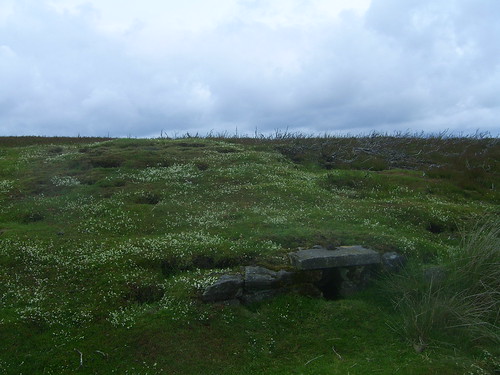
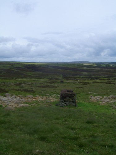


1812 Walk - 180611 022


Shooting butt.


1812 Walk - 180611 024


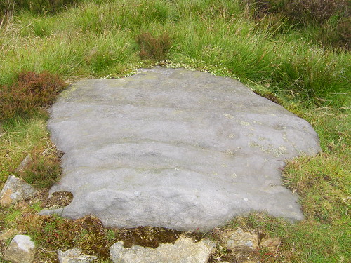
Stone with glacial scouring on the surface.


1812 Walk - 180611 025


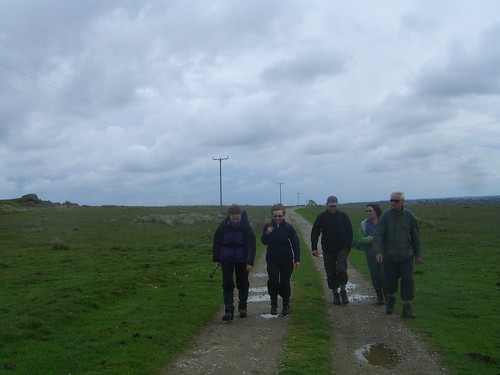
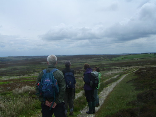
Surveying the route we had walked so far.
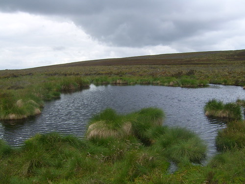


1812 Walk - 180611 026


A moorland tarn.


1812 Walk - 180611 028


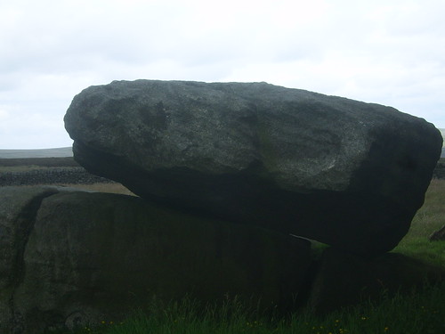
The "Rocking Stone" near Rocking Hall.


1812 Walk - 180611 029


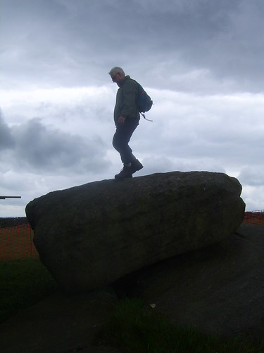
Nick testing its stability.


1812 Walk - 180611 030


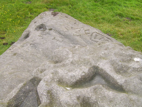
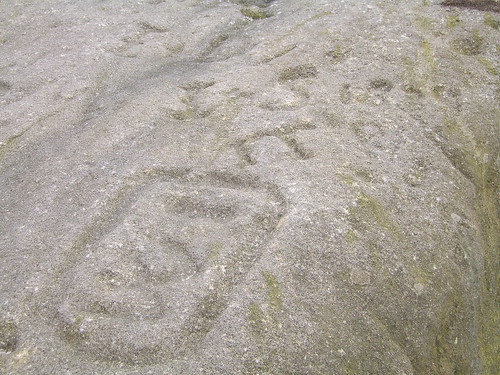
Scouring and etchings on the stone.


1812 Walk - 180611 031


1812 Walk - 180611 033


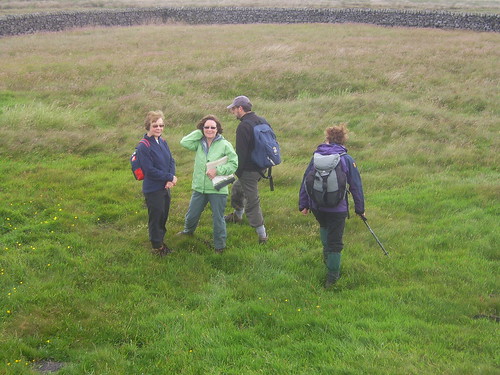
The group looking for a suitable place for lunch.


1812 Walk - 180611 032


Departing after lunch for the walk along Bank Edge and across The Great Stray.


1812 Walk - 180611 035


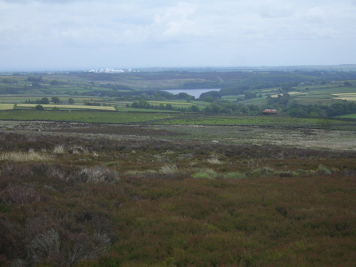
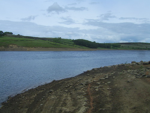
View across to Thruscross Reservoir.


1812 Walk - 180611 036


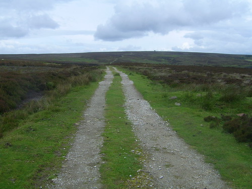
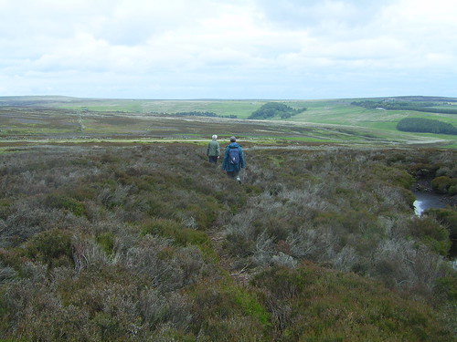
A direct line across the moor.


1812 Walk - 180611 039


1812 Walk - 180611 040


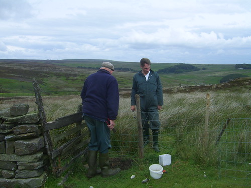
Local farmers out fence repairing.


1812 Walk - 180611 041


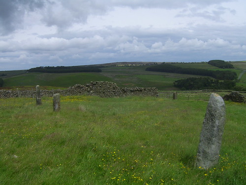
A set of marker boundary stones.
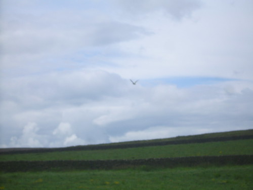


1812 Walk - 180611 044


Curlew in flight.


1812 Walk - 180611 045


1812 Walk - 180611 046


The farm track across to the River Washburn.


1812 Walk - 180611 047


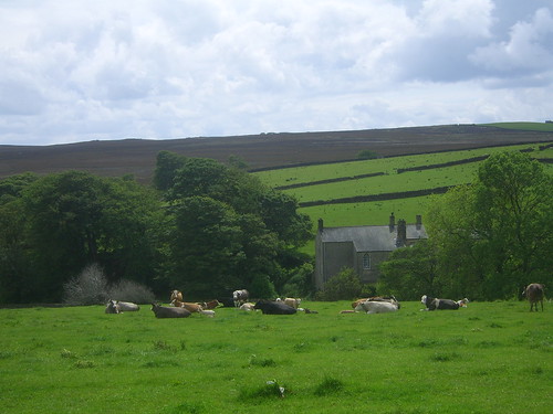
Cows enjoying the afternoon sunshine.


1812 Walk - 180611 048


An old converted mill.


1812 Walk - 180611 049


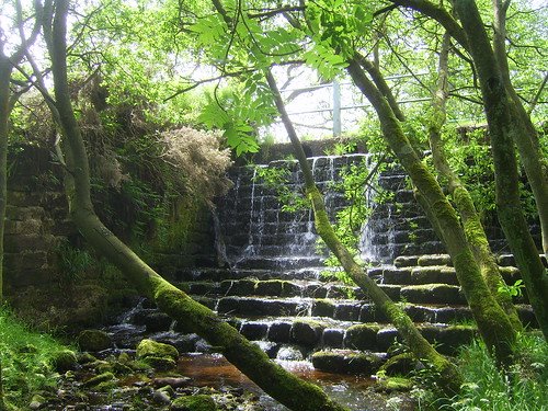
Waterfall at Hoodstorths Lane.


1812 Walk - 180611 050


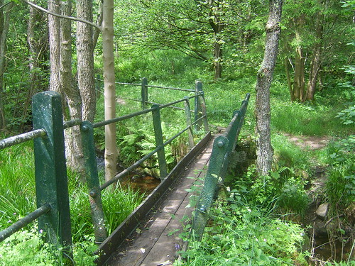
Footbridge over the River Washburn.


1812 Walk - 180611 051


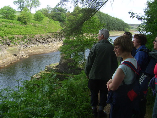
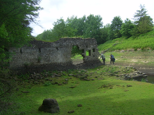
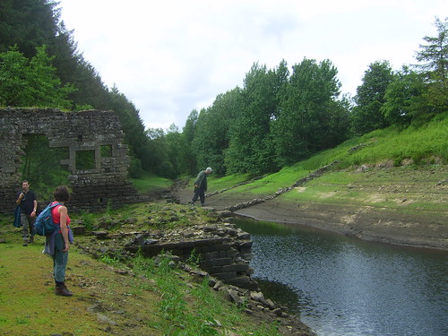
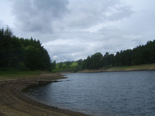
The top end of the reservoir. Due to the shortage of rain the reservoir is well down in this part of the valley and some of the old walls from the fields which were covered when the valley was flooded in the mid 60's are starting to reappear.


1812 Walk - 180611 054


1812 Walk - 180611 055


1812 Walk - 180611 056


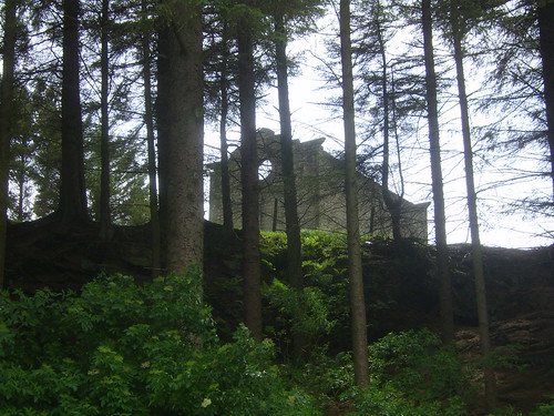
The old Chapel on the hill above the reservoir.


1812 Walk - 180611 057


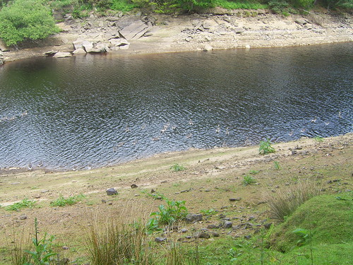
The tide mark showing how much the reservoir has dropped in recent months.


1812 Walk - 180611 058


1812 Walk - 180611 059


1812 Walk - 180611 060


1812 Walk - 180611 061


1812 Walk - 180611 062


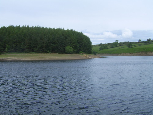
The final stretch along the reservoir back to the car park.


1812 Walk - 180611 063

No comments: